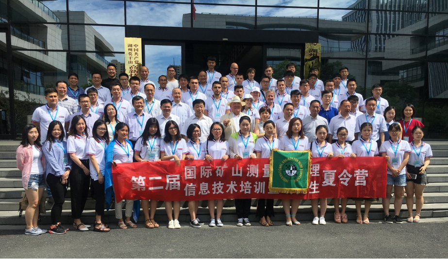
In December 2017, the Chinese Academy of Geodesy and Cartography (Beijing) said that they would be ready in 2018 to host II Summer school for talented students in surveying and geodetic specialties.

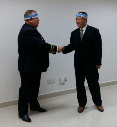
Representatives of INRTU took part in the Summer school for talented students in surveying and geodetic specialties. The educational project was implemented in the summer 2018 in Deqing (China). The main partner of Summer school was the Chinese Academy of Geodesy and Cartography, together with the Society of Surveyors of China and China Coal Sosiety.
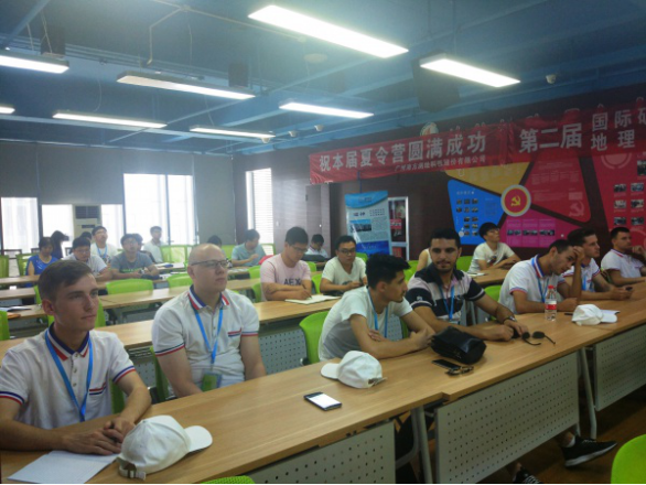
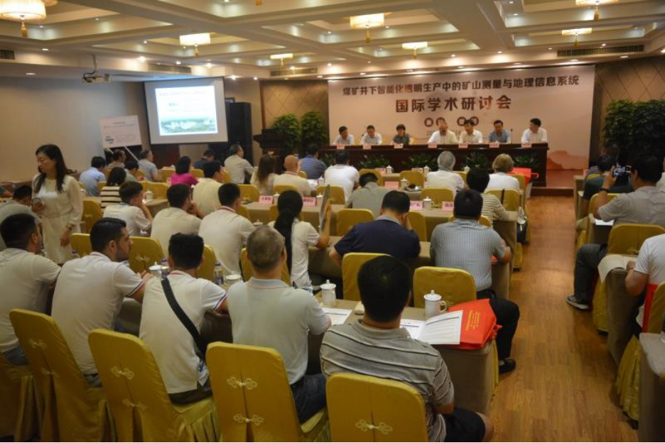
According to Professor Anatoly Okhotin, the summer school brought together 65 students and teachers from universities in China, Russia, Albania, Uzbekistan and Kazakhstan. The Russian surveying school was represented by INRTU and FEFU. The educational program consisted of reports in english, which were prepared by Chinese scientists. They told future surveyors and surveyors about the possibilities of using new technologies. Summer School participants visited production companies that provide services to mining companies in laser scanning and unmanned surveys.
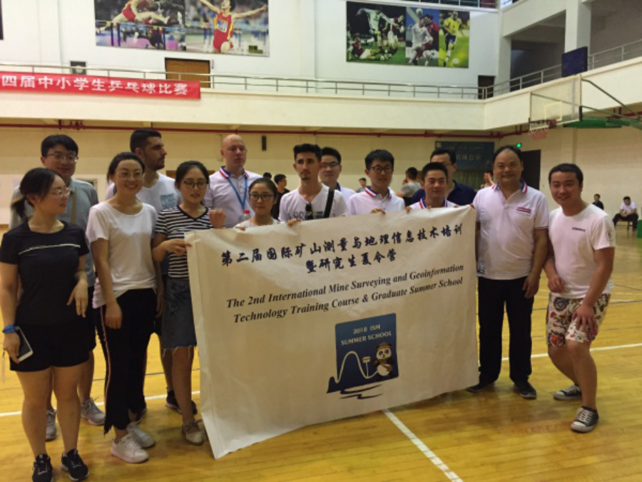
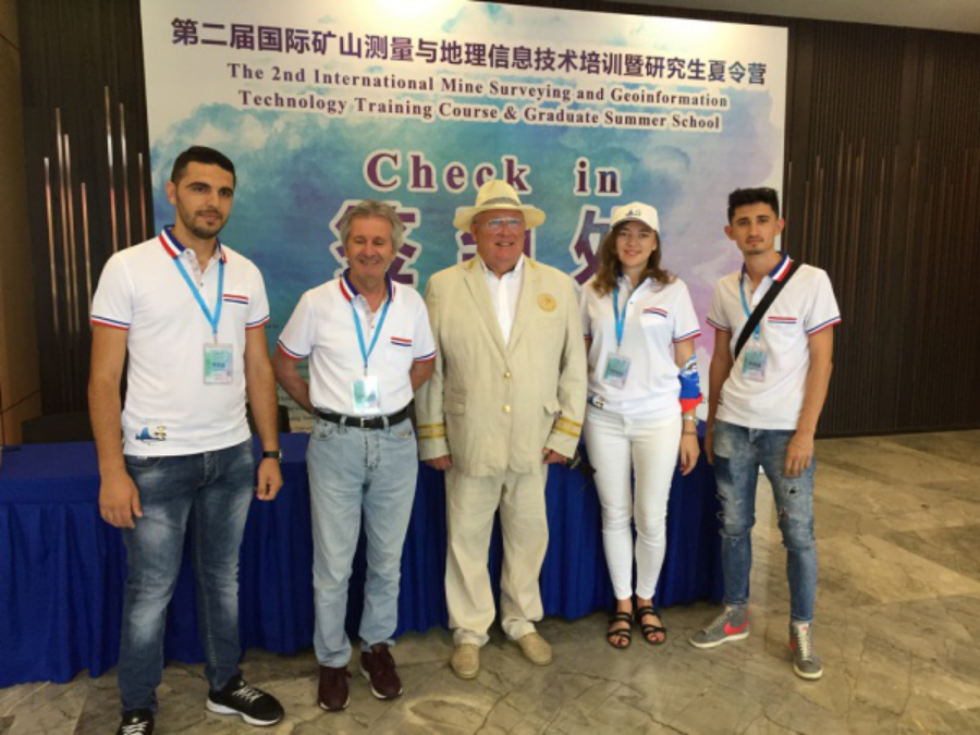
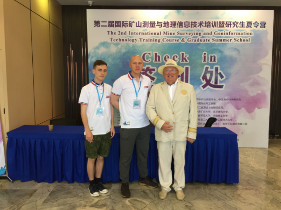
“Our department decided to send two best students to the summer school. Peter Fedorov and Mikhail Seleznyov are prize-winners of regional Olympiads and WorldSkills Russia Championship (“Young Professionals”). The delegation also included members of the department Larisa Sheshukova and Alina Kshanovskaya. We received a lot of useful information. The best specialists of leading Chinese companies that produce geodetic equipment communicated with students, ”said Anatoly Okhotin.
According to Mikhail Seleznev – Russian student, all Summer School participants are fluent in English. He said that he listened with interest to the reports of Chinese experts on how the integration of GIS technologies in production processes during coal mining.
“China has huge coal reserves and is the leader in the extraction of this mineral. The country produces almost half of the world's coal reserves, the annual figure is more than 3 billion tons. The use of GIS systems in the coal industry improves productivity and increases economic performance. As part of the Summer school, we visited a factory where geodesic devices are made. The exhibition of professional equipment was impressed by the variety of unmanned systems. In China, drones are used in various fields - from monitoring and controlling pests in agriculture to surveying in mining and in road construction. Communicating with Chinese students, it turned out that they are actively using lidar surveys in road construction in the field of production. ”
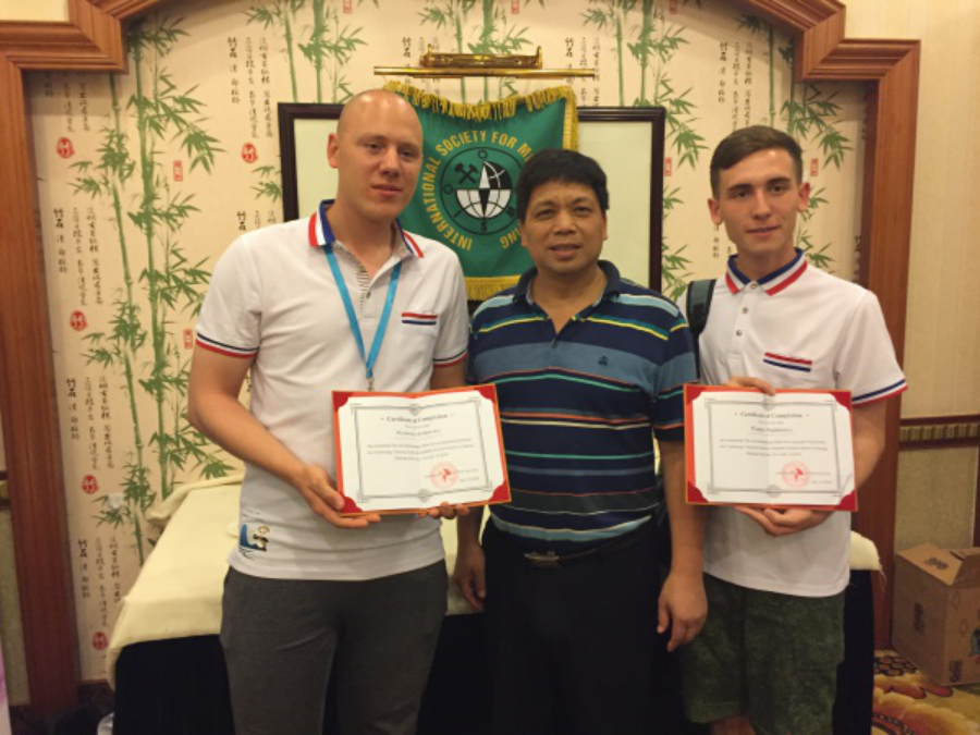
It should be noted that the Summer school project started in 2017 on the Baikal island of Olkhon, having received high praise from Russian and foreign experts. It is planned that next year the summer school will be organized in Albania. As Professor Anatoly Okhotin explained, this issue will be discussed at a conference of Balkan surveyors, which will be held on October 2-5 in Tirana.
